Friday, June 12, 2026
We drove up to the Portland airport today to catch a flight to Salt Lake City. Traffic was terrible. Plus, our flight was delayed for an hour. Bah! Once in SLC, though, life was fine. Cousin L picked us up at the airport and took us to Heber City to start our quick visit there.
Saturday, June 13, 2026
L and J have changed houses since we saw them last, and it was nice to see their new place. It’s larger and closer to town than their previous house, which was perched on a mountain slope. The new property is semi-rural and large enough to have a horse. There’s no horse at the moment, but the property did come with a semi-feral cat named Tuhaye, who is gradually warming to the new inhabitants.

After breakfast, we set out to see something of the Heber Valley. First we did a tour of a dairy farm, a relatively small operation that produces milk mostly for the cheese factory just down the road, which is owned by the same family. Ancestors of the current owners came to the Heber Valley from Switzerland in the 1870’s. Many other Swiss also came and for a century or so the main agricultural activity in the area was dairy farming. These days most of the dairies are gone, their land sold to developers.
The farm we visited has been operating at its present site since the 1920’s. Here is the original milk house dating from that era:

We got to look inside the old building and our tour guide told us a little about how dairying changed over the years. One early innovation was to create what were called milking pits, areas that were three or four feet lower than the main level of the stalls, thus allowing the milkers to do their work without having to bend down to reach the udders. Then came milking machines. This building was still in use when they came along. The milking schedule in the old days was simple: once at 3:00 AM and once again at 3:00 PM. Why those times? Milking at 3:00 AM would give the kids time to do their work and still get to school on time. Milking at 3:00 PM meant the kids would again be available once school was over. How did our guide know this? Because that’s how he grew up and eventually became a fourth generation farmer/owner/dairy manager.
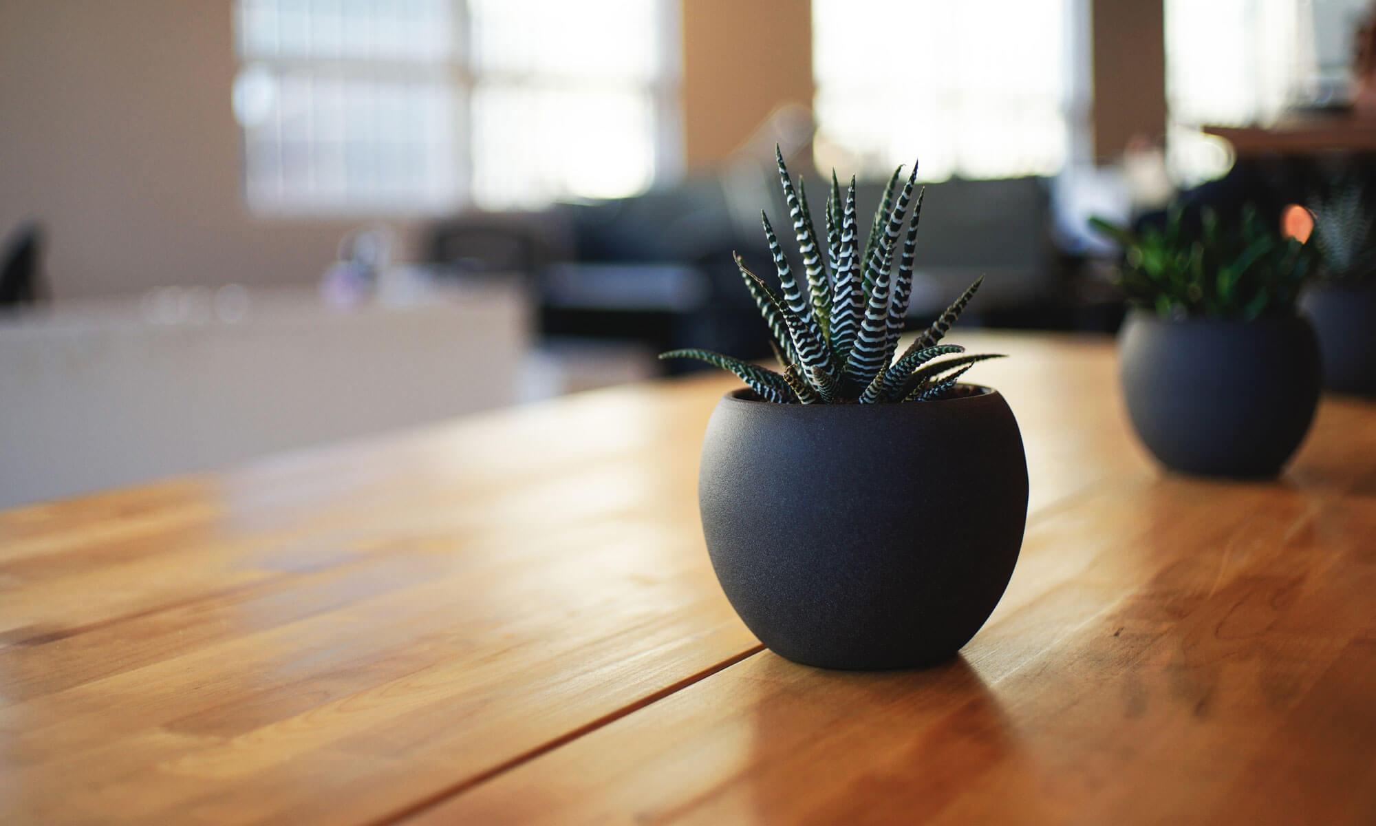
These days the children of the family do not have the opportunity to work two milking shifts a day 365 days a year. No one else has that opportunity either. In this dairy, the cows can choose to be milked whenever they want and the actual milking is done by robots. Cows also have access to self-activating back scratching machines like the one in the photo below.

Each cow’s collar shows its number and also carries its electronic ID. When a cow wants to be milked she goes into a milking stall, which opens automatically as she starts to enter and then shuts behind her once she is in. A 3D camera and a robotic milking machine do the rest. The robot records how much milk is collected and sends that data to the central database. The cow is then given a molasses-covered nutrient pellet and the stall opens up in front of her so she can leave. Meanwhile the milking robot scans the milk for impurities–especially blood from mastitis. If there are problems, all of the milk from that session is discarded. And of course that information is also sent to the computer and the farm manager will receive an alert. Cows are allowed to enter a milking stall up to five times per day. On the sixth try, however, the computer will automatically tell the stall not to let them in. Why, you might ask, would a cow want to be milked more than five times in a day? According to our host, it is most likely the molasses.
Here’s the nerve center of the operation:

Near the office there is a training/seminar room and also a kind of public viewing area. The viewing area also has windows overlooking the barn level, but, unfortunately, they were some of the dirtiest windows we’ve ever seen. We took a picture anyway:

This is where the cows spend pretty much all their time. The building is open-walled during the warmer parts of the year. In the winter there is a system that unfolds thick fabric shutters to cover the wall openings. Our host told us that the building was originally designed to allow the cows to have access to the adjoining open pasture anytime they wanted. It was found, though, that the cows rarely went into the pasture, at least partly because the barn was cooler in the summer and warmer in the winter. So after a year or two, pasture access was shut off. Hmm. The maximum capacity of the barn is 250 cows, but their current operation involves just under 150.
After the tour, we had another hayride back to the creamery, where we hoped to sample one of their famous grilled cheese sandwiches. Alas, the sandwich line was long and the space was small. We decided to move along to a resort complex called The Homestead, where we could get a meal and then check out the Homestead Crater.
From the outside, the crater is a cone-shaped formation that looks like a small volcano, maybe fifty or sixty feet high. It has an open crater and if you take the stairs up to the top, you can look down into it. The circular opening is about 20 feet across and has been covered with a sturdy safety net of chain link fence fabric painted black. But if you look down just right, you’ll see reflections off of some kind lake or pool far below. You might also hear splashing sounds as if some kind of largish animals were playing in the lake. As shown by the following series of photos, that’s because there is a swimming pool down there.


The interior pool is 60 feet deep and is fed by an underground hot spring that keeps the water at a steady 95 degrees in all seasons. Pretty neat. Would it have been even nicer if people had refrained from messing with it and just allowed the spring to keep flowing out of the top, depositing its load of dissolved limestone and gradually enlarging the cone, the way it had been doing for a millennium or two? Maybe. Maybe not.
Sunday, June 14, 2026
Today L and J took us to the Heber airport. It’s a small one; the only runway is less than 7000 feet long, too short for commercial airliners. But it was a pretty busy place on this Sunday afternoon. Every ten minutes or so we’d hear the roar and rush of another private jet taking off. Was it always like this? Not really. This was a weekly rush hour caused by lots of folks headed home after spending a couple of days in their mountain retreats. Friday afternoons are busy too because that’s when the weekenders arrive. There’s a lot of hanger space at the Heber airport and J told us that some of the hangers contain small apartments. That way, the pilots who fly the families in on Friday will have a place to stay until they fly them out again on Sunday.
But conspicuous consumption wasn’t what we really came to see. We were there to visit the Commemorative Air Force: Utah Wing Museum. The museum contains several vintage aircraft and a large collection of air war related paraphrenalia: maps, uniforms, survival equipment, cockpit instruments, notebooks, memoirs, mission logs, and other offficial documents. A local Heber Valley man piloted a B-29 in the latter stages of WW2, and a number of his items have been donated. Nearby is a display concerning a different B-29, the one that dropped the first atomic bomb. Included in the exhibit is a facsimile copy of the written orders that gave the U.S. Army Air Force’s 509th Composite Unit the final go ahead to deliver the bomb. Those orders list four possible target cities, leaving the final choice up to the unit commander, who was to base the decision on weather conditions.
Among the equipment on display is a Rolls Royce Griffon V-12 airplane engine of the kind that powered Spitfire and Mustang fighter aircraft in the later stages of WW2. Here’s a nice picture of a refurbished Griffon, which is of course something that everyone should own at least one of. Unfortunately, the photo comes from an old web page and the engine shown is no longer for sale. So even if you have $65,000 rattling around somewhere, you’re still out of luck. But hey, that kind of money would buy you a reasonably nice weekend in Heber Valley where you could see the Griffon that we saw. Donation requested but not required.
Just outside the museum, we had a chance to poke around a real WW2 era aircraft. We can say categorically that it would not be a fun place to work or an easy place to escape from if it was going down, especially if you were assigned to one of the machine gun seats.


Monday, June 15, 2026
Time to fly back to Portland. Again, our Alaska Airlines flight was an hour late getting airborne. Aarg! On the other hand, the Monday traffic through Portland was a lot easier to deal with than Friday’s.
Thursday, June 18, 2026
We went down to the Corvallis Arts Center today. Our friend B has some paintings on exhibition there. B gave a short talk and answered questions about his techniques and what he hopes to convey. Very interesting.

Saturday, June 20, 2026
We took the old roadster out today, first packing a little lunch and then heading to Hiatt Farms to buy some baked goods. That accomplished, we continued south down to Bellfountain Park where we could have our picnic. The little beamer is running like a champ, running so well in fact that we may have exceeded the speed limit slightly at some point. As soon as we realized what had happened, we of course throttled back to a sedate 55 or so. This was a good idea because just a few moments later we met a sheriff’s deputy coming from the opposite direction. Bellfountain Park was crowded, but we still found a table with mixed sun and shade–just right.
Monday, June 22, 2026
M took our friend C for her annual birthday ride in the red car, cruising out Decker Road and then up a very interesting part of Highway 34. Beautiful weather for it and no police cars were seen. After the ride, E met them for coffee.


